Twins
Written on September 2nd , 2018 by Paul Beaudet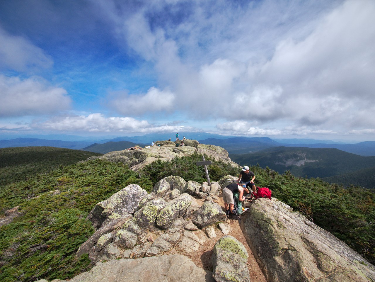
North and South Twin hike with Becca and Travis. Starting from Haystack road we rehashed a trail that I did earlier this year with an AMC lead group along with a camping trip that can be found here.
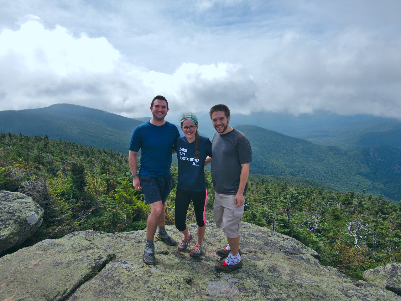
Didn’t take too many pics on the way up but this is one of us at the North Twin outlook. With North Twin in the bag, Becca only has two mountains left. Expect a mount Isolation and Carrigain hike in the near future.
The trail between the Twins, Becca said she’d let this lady go by before she took a picture. haha, no such luck with me.
I did take an okay timelapse from the top of south twin, unfortunately kdenlive crashes when I try to make a timelapse the way I did it last. I explored creating a gif with Image Magick and gifsicle. The smallest thing I could get that was discernible was 256mb gif. Compression is a real rabbit hole I’ll pass on exploring any further today. If anyone has a quick workflow for turning a couple hundred raw files into a <30mb decent quality gif I’m all ears.
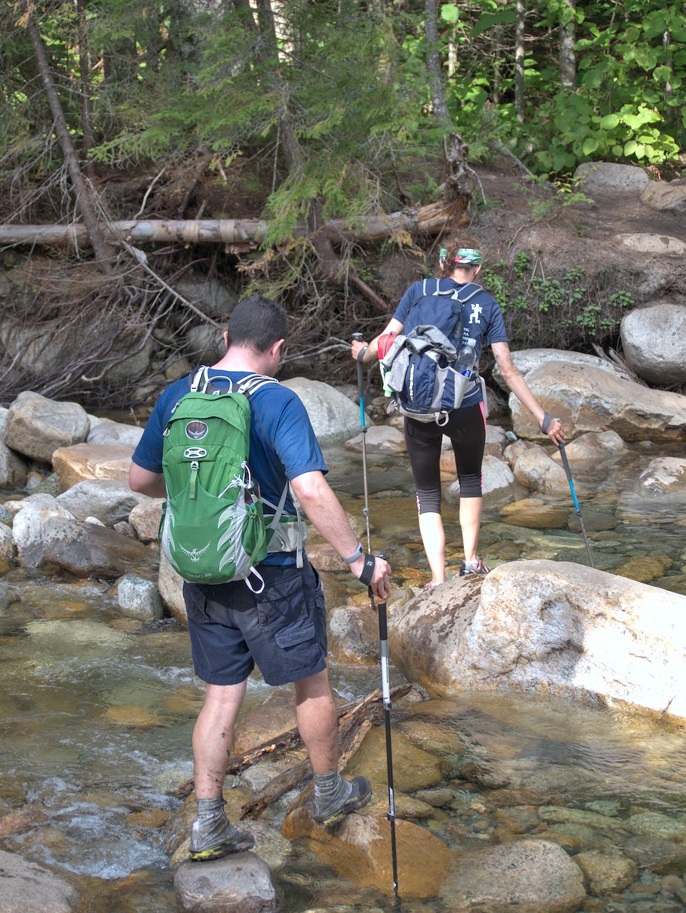
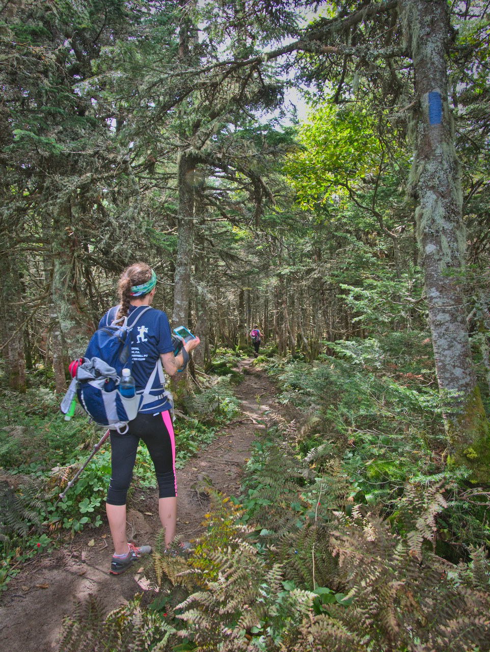
Water crossing on the little river. Remembered the stones I used from the last hike. Water was a little lower though.
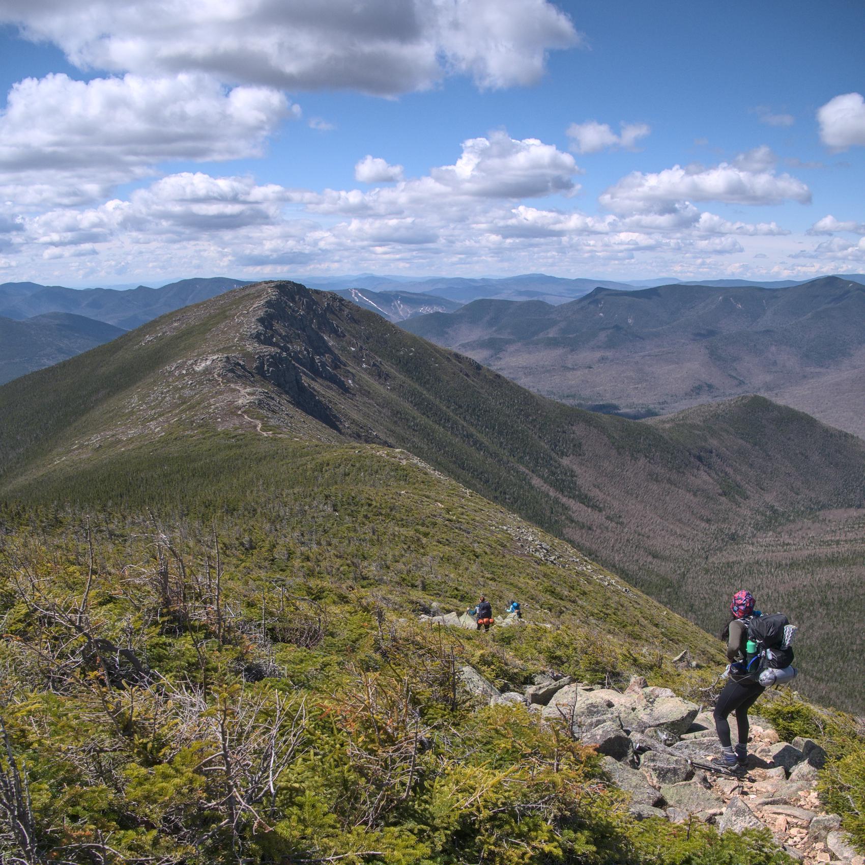
Was a quick paced hike again, would say this is an accessible faster hike for a 4k or two. Both are definitely worth it south twin has unrestricted 360 views as opposed to north with two restricted outlooks towards the presidentials and other other towards the Franconia ridge line. The trail descriptions have a bit of warnings about water crossings, bushwacks, and steepness. The “bushwack” is a well beaten herd path thats easier to understand than the original trail that crosses the river. Looks like there were blue ribbon blazes to the east of river marking out a potential future trail further from the river and herd path. Not sure what the true purpose was, but trail and natural erosion will likely make the herd path less viable in the future. There are already diverging and converging paths that indicate preferences in low water and high water use. The one unavoidable water crossing could be difficult with serious rains, but it was tame the two times I’ve done it. The steepness after the crossing could more be described as moderate than strenuous depending on level of fitness.
Its worth noting that the herd path is defined as the true trail in Gaia as can be seen below.